Did you know Raleigh has more than 100 miles of greenway that make up the Capital Area Greenway system?
The City of Raleigh’s greenway system has 28 different trails across the city. The trails are open dawn to dusk every day, although some are closed from time to time for maintenance, repairs, and other situations.
Greenways in Raleigh all have different characteristics. Many of them are paved, but some are natural surface and suitable for hiking. Destinations of trails vary, some lead to playgrounds and parks, some are loops, some connect to other trails. There are also various designated parking area.
Finding all of these amenities and planning your trip — where to park, how far to walk, where to turn around or how to connect to your next trail — can be daunting. But the City of Raleigh has released a new online tool that helps you do just that.
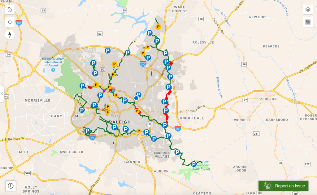
The Capital Area Greenway Explorer Tool helps you find greenways near you, the amenities offered, and gives you the ability to plan a trip on your computer. It also gives real-time updates about closures and detours on the greenways.
The explorer tool is also accessible from your phone.

Using the Capital Area Greenway Explore Tool you can also get Greenway Alerts. There is a yellow tab above the map that will provide updated information about the statuses of the greenways.
And, if you see any issues while using the greenway trails, you can use the SeeClickFix function to report drainage problems, graffiti, damage, or other other issues.
Here are some other helpful links for using the Capital Area Greenway system:


Leave a comment